
Go to:
Courses | Training | Home | Contact us
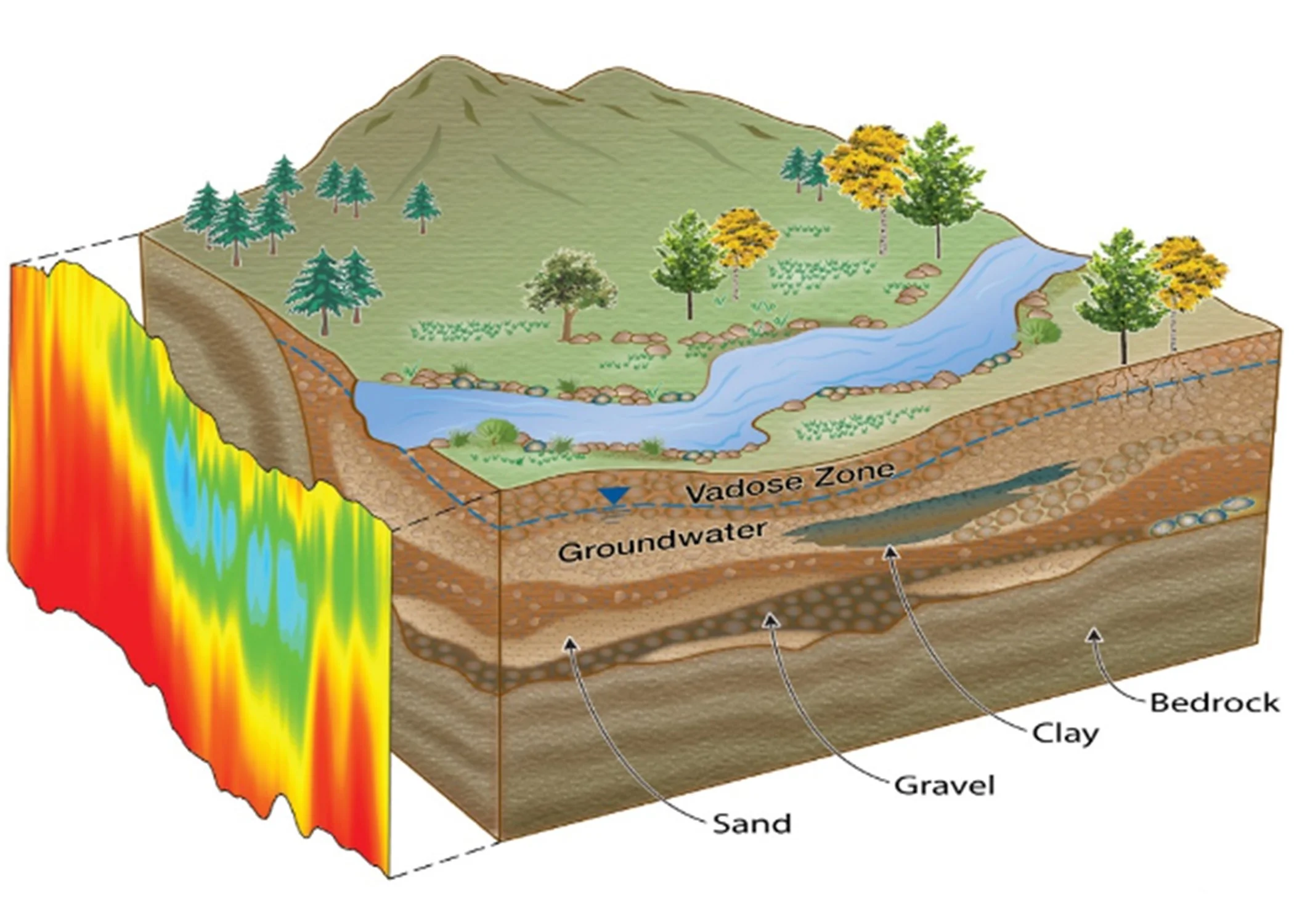
Environmental Geophysics for Groundwater Investigation
Course Description: This one-day course delves into the principles of environmental geophysics, focusing on groundwater investigation. Participants will learn how to map aquifer systems, detect contaminants, and develop sustainable groundwater management strategies using geophysical techniques such as electrical resistivity tomography, electromagnetic methods, and seismic surveys. The course concludes with a session on selecting the most appropriate geophysical tools for groundwater investigations and integrating geophysical data into environmental assessments.